Terrestrial Weather for Microwave Propagation Research
Eumetsat Meteosat Images
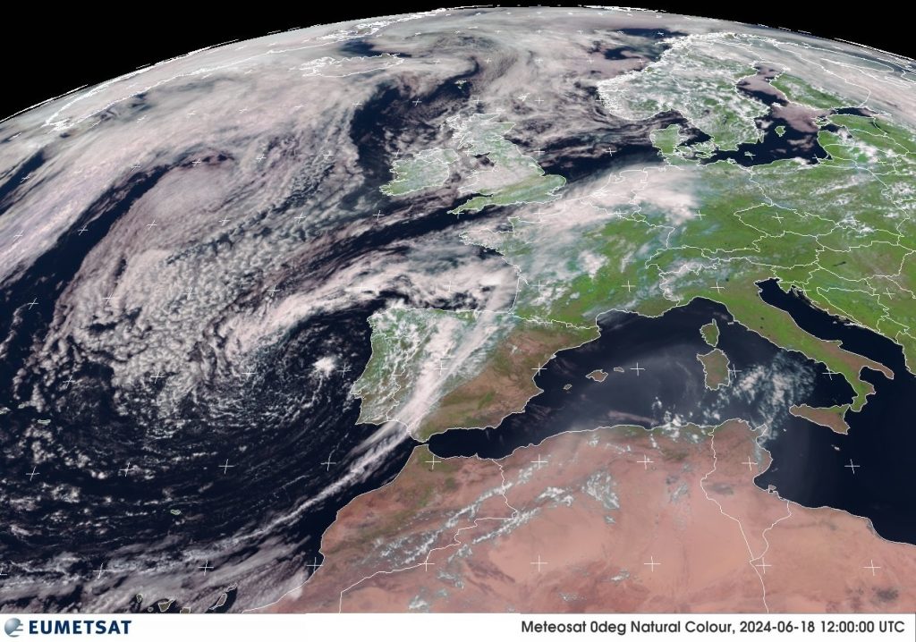
This sequence displays images in the visible spectrum, usually
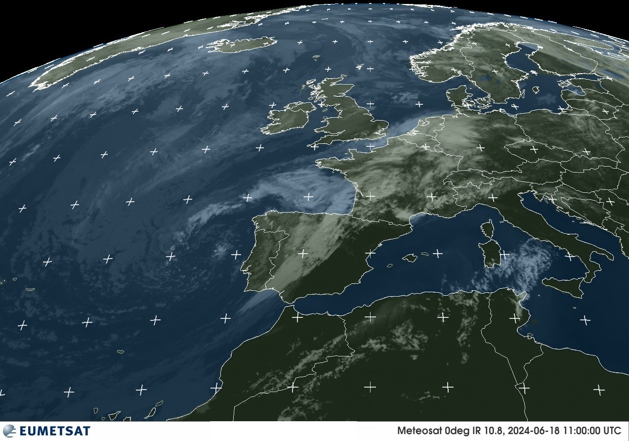
referred to as Enhanced RGB, and the IR 10.8um sensor image. Included in this set an experimental composite image comprising output from multiple sensors each image is updated every (utc) hour.
A Western Europe projection is chosen as this best illustrates how the
weather from the North Atlantic develops and affects the European landmass.
The visible spectrum only shows details once in daylight so will always
appear dark overnight. The IR 10.8um therefore presents a suitable
alternative view as it presents the best compromise on displaying cloud
formations.
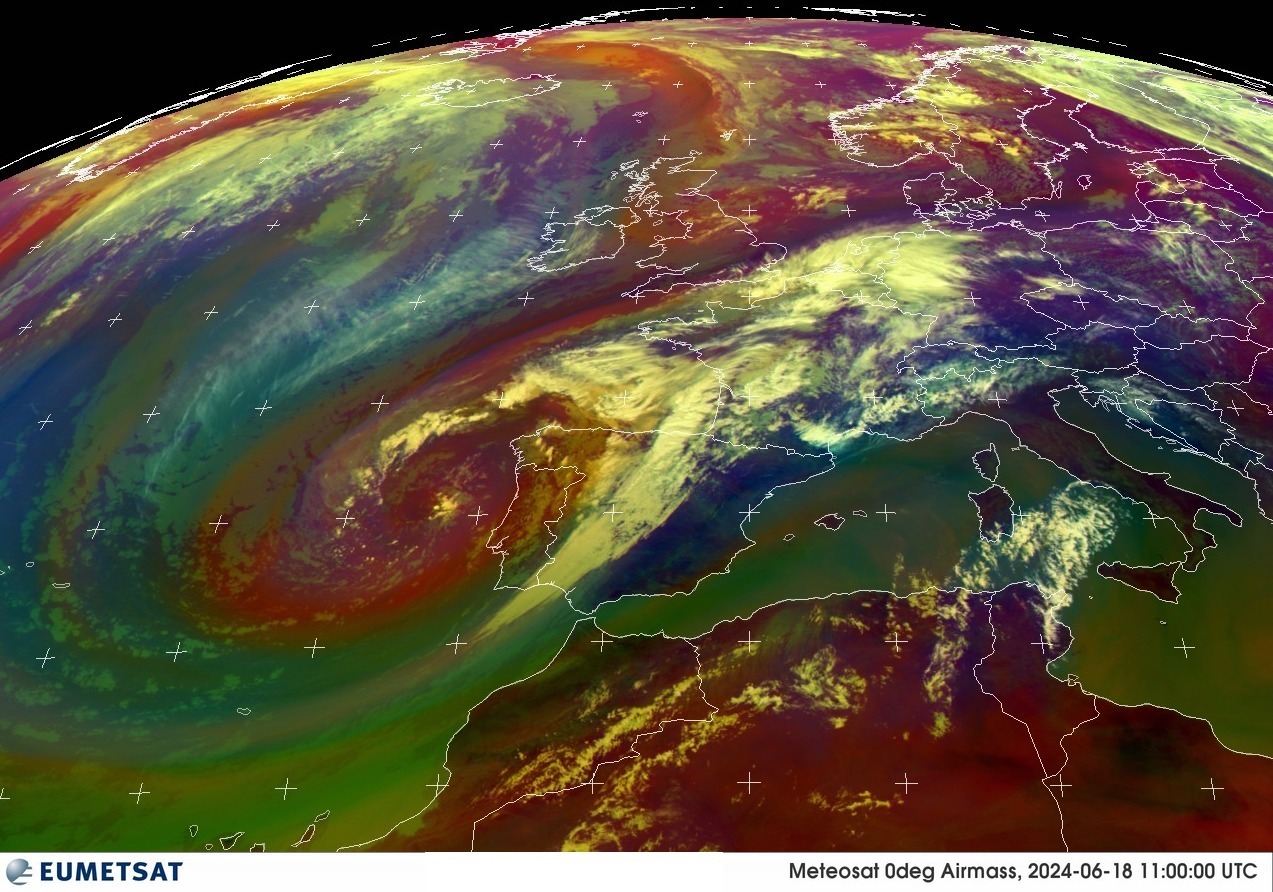
With a little practice looking at the composite image (EUMETSAT_MSG_RGBAirmass) it is possible to build a picture of the height and type of cloud and the veracity of weather systems.
The complex image is included here as it provides near real-time evidence to show large warm airmasses form over the southern North Sea, between the UK, Belgium and the Netherlands causing skewed, turbulent microwave radio paths.
Eumetsat 0° – Natural Colour

Eumetsat 0° – IR10.8um Colour WesternEurope

Eumetsat 0° – RGBAirmass WesternEurope

If this has interested you you will have noticed the images themselves do not update. The fully live site is now available once again at a new address:-